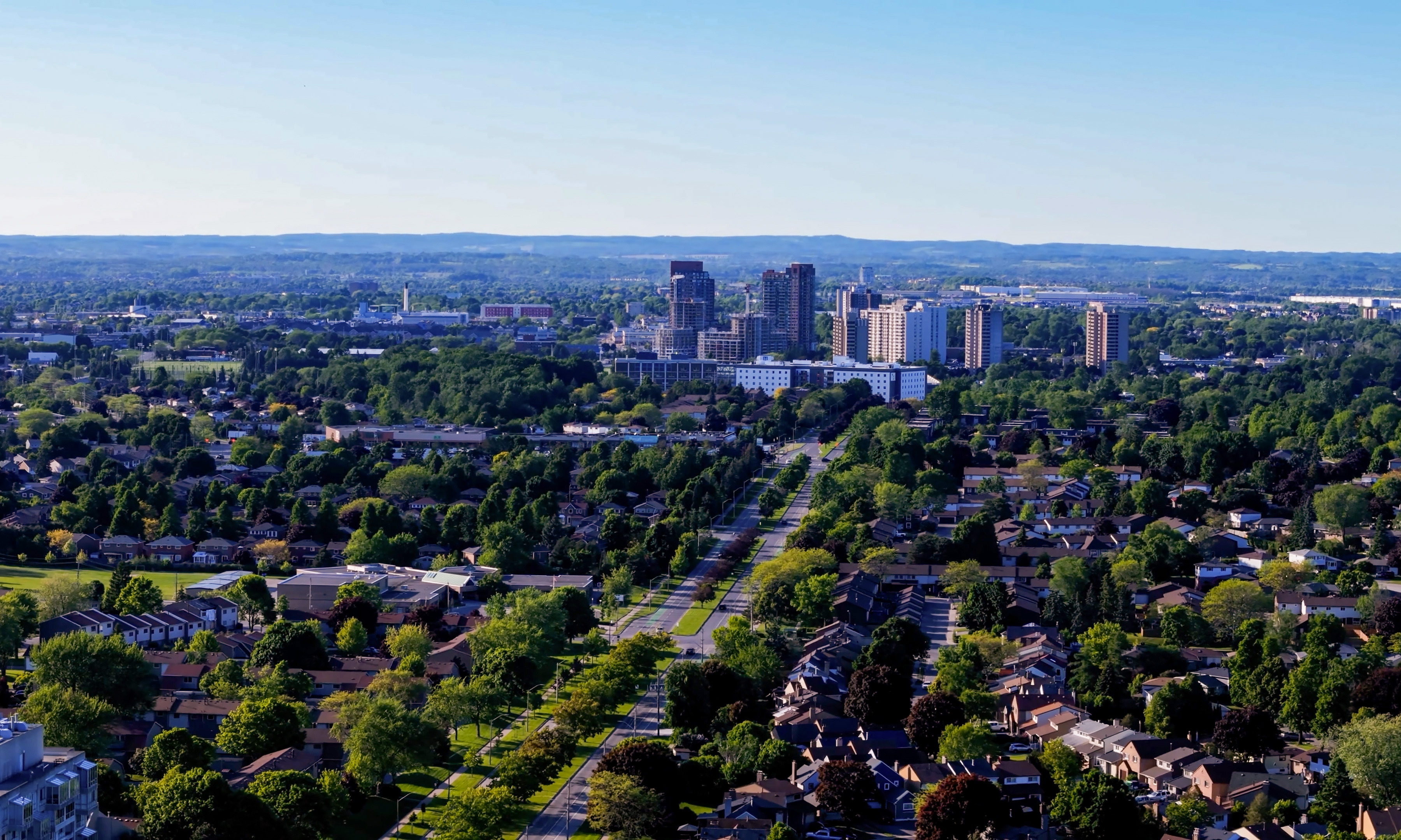
Ingersoll, Ontario
Wikimedia Commons via Wikipedia

Ontario · Civic arena

Ingersoll

Ingersoll drinking water hardness is 271 mg/L on OpenStats, plus City Score rankings and local readings.

Civic arena · hometown HUD

Ingersoll

Census_agglomeration14k pop
45XP
#246

#246 of 343

45% City Score XP

Groundwater
City Score XP

6/8 pillars on the board

45%#246

Decade trail

Ingersoll packs 6 of eight open-data pillars into its composite standing. Tap a rival below to see how the hometown stacks up head-to-head.

Ingersoll drinking water

Regional estimate from nearest municipal sample

Hardness, pH, and lead from municipal reports on the OpenStats water atlas. This page uses a regional estimate — open the water atlas for method notes.

Hardness
271 mg/L
very hard
pH
7.4
Lead
0.7 μg/L

Full Ingersoll water quality report →City Score rankingsCompare cities · vs Elliot Lake · vs KingstonHardness guide

Watershed to tap · system map

How Ingersoll's water works

Source, treatment, and distribution for Ingersoll from municipal and provincial water records. Open the animated map for the full watershed-to-tap diagram — no nested topic navigation here.

Local numbers for Ingersoll

Permits, tax, internet, radon, hazards, drinking water, and sports rankings where a CHL hometown applies.

How Ingersoll scores

Ingersoll sits at City Score rank #246 with a standing of 45%, from 6 of 8 open-data pillars (tax, construction, connectivity, indoor air, water, seismic hazard, growth, safety). Missing pillars score at median standing so thin coverage cannot inflate the rank. The chart below shows how that standing moves year to year.

Latest owned placements: indoor radon rank #123 of 327 at 110 Bq/m³ survey mean; residential mill rate rank #15 of 57 (15.99 mill rate). Full tables and method notes live on each study edition; atlas readings for the same slug open from the topic buttons.

On the latest OpenStats pass, Ingersoll carries a City Score standing of 45% (rank #246 of 343) with 6 of 8 pillars observed. That sits 7 points below the Ontario peer average across 123 ranked cities. Within Ontario, Ingersoll ranks #100 of 123 on City Score.

The strongest signal in the current chart is broadband download (ISED seed tier) (standing 89%, rank #38 of 343, raw score 1000). The weakest observed pillar is drinking-water hardness (standing 5%, rank #17 of 343).

Drinking-water hardness on the water atlas reads 271 mg/L as CaCO₃ for Ingersoll. Compare that figure to the hardness pillar on the chart and to the national hardness guide on the hub.
#246
Arena rank (of 343)
45%
City Score
6
Pillars observed

Arena loadout

Topic XP bars

Arena rank #246 of 343

City Score

6/8 pillars · main XP bar

45%#246
Drinking water

Pillar avg · hardness #17

7%
Building permits

No placement

—
Internet

Rank #38

89%
Radon

Rank #123

38%
Hazards

Rank #208

61%
Property tax

Rank #15

26%

Ingersoll pillar standing

Eight equal-weight City Score pillars, 2025 panel year.

TaxPermitsNetRadonWaterHazardsGrowthCrime

Source: OpenStats composite / study editions

City Score standing trend

Standing percentage by panel year (higher is better).

Years: 2016, 2017, 2018, 2019, 2020, 2021, 2022, 2023, 2024, 2025

Source: OpenStats composite timeseries

Achievements

Groundwater supply

Hometown notes

City profile

Older hometown notes stay on the desk archive (noindex) — this section shows recent highlights only.

Ingersoll in brief

Ingersoll sits in Oxford County on the Thames River, close enough to London and Woodstock for a day trip and stubborn enough to keep its own story. Town museum copy says this is a place built on cheese: cooperative factories, a mammoth wheel shipped as a marketing stunt, and Ingersoll stamped on boxes leaving for Britain. James McIntyre's cheese poems still get a smile at the Ingersoll Cheese & Agricultural Museum. Earlier still, the settlement at Oxford-on-the-Thames took the Ingersoll name in 1832 after Thomas Ingersoll's founding bargain with Simcoe.

The living landmark is Centennial Park. The cheese museum at 290 Harris Street, a kilometre north of Hwy 401 Exit 218, anchors the Oxford County Cheese Trail and doubles as the town cycling hub. Galleries hold the Ingersoll Sports Hall of Fame and Wilson Johnston woodcarvings. Out back sits Canada's only cheese playground, then the Ingersoll Creative Arts Centre, splash pad, sports fields, and Victoria Park Community Centre. The Thomas Ingersoll Trail follows Hall's Creek through more parks into downtown.

Ask someone what to show a relative and you get the museum, the trail, and a stop for local cheese in the gift shop. Fusion Youth Centre and Ingersoll Recreation keep younger calendars busy while Oxford Road construction notices remind everyone this is still a working county town off the 401. Admission at the cheese museum is by donation, which keeps a family stop easy after the 401 exit. On OpenStats City Score for 2025, Ingersoll sits at rank 262 of 343. The hometown framing stays Thames River dairy country first.

Drawn from Town of Ingersoll - About Ingersoll, Ingersoll Cheese & Agricultural Museum, Town of Ingersoll.

City Score over time

City Score from 2016–2025 across eight open-data pillars. Individual study placements are listed in the panels below.

0%25%50%75%100%2016201720182019202020212022202320242025
OpenStats City Score

Rankings for Ingersoll

Each study below is its own ranking. Where a study has more than one edition for this city, the chart shows standing across those years only.

Safety · OpenStats

Crime severity not placed

Statistics Canada does not publish a police-service Crime Severity Index that OpenStats can match to Ingersoll without copying a province, CMA, or another city. The safety pillar scores at median standing (50%) on City Score, the same rule used for other missing pillars.

Connectivity · OpenStats

OpenStats Broadband Download Speeds

OpenStats

Cities ranked by household-weighted maximum advertised download (Mbps) from ISED National Broadband Data hex ISP rows, with hex-to-city assignment by population-weighted gravity. The headline 2025 score is the dwelling-weighted mean of per-hex technology ceilings (fibre and cable at 1 Gbps, DSL lower). Household-weighted 50/10 availability (%) is stored on atlas rows as avail_5010_pct. Earlier panel years backcast along a national speed curve with city-specific fiber and availability paths.

10 editions · 2016–2025

#38
Latest · 2025 · of 343
Score 1000

Composite · OpenStats

OpenStats City Score

OpenStats

Dimensional average of OpenStats open-data pillars for each panel year 2016-2025: tax, construction, connectivity, indoor air, water, seismic hazard, population growth, and crime severity. Each series is scored 0-1 within its edition; series in the same pillar are averaged, then all eight pillars are averaged with equal weight. Missing pillars score at median standing (0.5). Crime severity uses StatCan police-service CSI only (Tables 35-10-0026-01 and 35-10-0063-01); cities without a police-service match take median standing on the safety pillar. Growth uses StatCan CSD estimates; construction uses verified municipal building-permit value per resident (population field on each city record, 2021 Census vintage); mill rates and broadband use live rows plus documented year-varying estimates where needed. Radon, water, and PGA may be survey/model vintages carried forward and are flagged when static for more than two years. External commercial livability lists are never inputs.

10 editions · 2016–2025

#246
Latest · 2025 · of 343
Score 0.455

Water · OpenStats

OpenStats Drinking Water Hardness

OpenStats

Communities ranked by municipal drinking-water hardness (mg/L as CaCO₃). Hardness changes slowly; the atlas vintage is carried across panel years and flagged when static for more than two years.

10 editions · 2016–2025

#17
Latest · 2025 · of 343
Score 271

Health · OpenStats

OpenStats Highest Indoor Radon

OpenStats

Communities ranked by Health Canada survey mean indoor radon (Bq/m³). Rank 1 is the highest mean. Decade panel years without a new survey carry the CMA survey vintage forward; they are not annual retests.

10 editions · 2016–2025

#123
Latest · 2025 · of 327
Score 110.4

Growth · OpenStats

OpenStats Population Growth

OpenStats

Cities ranked by year-over-year population growth from Statistics Canada annual CSD estimates (Table 17-10-0155-01). Rank 1 is fastest growth. A few places without a clean CSD match use a provincial-path estimate anchored to seed population.

10 editions · 2016–2025

#197
Latest · 2025 · of 343
Score 0.008863328822733423

Property tax · OpenStats

OpenStats Residential Mill Rates

OpenStats

Municipalities ranked by residential mill rate (education levies are shown on property-tax pages but not added here). Rank 1 is the highest rate. Atlas seed and published municipal rows anchor the panel; off-panel tax years (e.g. 2026) carry across 2016–2025; remaining gaps follow provincial paths.

10 editions · 2016–2025

#15
Latest · 2025 · of 57
Score 15.99

Hazards · OpenStats

OpenStats Seismic Hazard (PGA)

OpenStats

Communities ranked by NRCan peak ground acceleration (higher = stronger shaking hazard). Rank 1 is highest PGA. The seismic model is multi-year; values are carried across the City Score panel and flagged as static until NRCan publishes a new generation.

10 editions · 2016–2025

#208
Latest · 2025 · of 343
Score 0.04

Worth knowing in Ingersoll

Distinctive local notes and places, each linked to its source.

  • The Ingersoll Cheese & Agricultural Museum calls itself the hub of the Oxford County Cheese Trail and the town cycling hub.

    Town of Ingersoll

  • Centennial Park holds Canada's only cheese playground behind the museum main building.

    Town of Ingersoll

  • The Thomas Ingersoll Trail follows Hall's Creek toward downtown through a string of parks.

    Town of Ingersoll

  • Museum history recounts James McIntyre as the cheese poet of Ode on the Mammoth Cheese fame.

    Town of Ingersoll

Places to see

Ingersoll Cheese & Agricultural Museum

Year-round museum at 290 Harris Street with a recreated cheese factory, Sports Hall of Fame, blacksmith shop, and gift shop cheeses. It is the practical starting point for visitors off Exit 218.

Centennial Park

Park grounds around the museum with the cheese playground, picnic pavilion, splash pad, and path links toward Victoria Park Community Centre.

Thomas Ingersoll Trail

Paved local trail along Hall's Creek that stitches parkland into downtown. Easy walk or ride after a museum stop.

Follow Ingersoll by email

When Ingersoll moves in a ranking, posts new permit figures, or lands in a study, get a short note. A few sends a year, only when something changes.

No spam. Unsubscribe with one reply.

Related guides

More places in Ontario

All Ontario cities